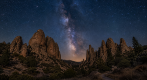
The best summer hikes in Monterey County reveal just how varied the Central Coast can be. Within one county, visitors can walk beside turquoise coves, follow shaded paths through redwoods and Monterey pines, climb oak-covered hills, or explore open former ranchland with broad views toward the bay. Coastal fog often keeps shoreline trails comfortable, while inland parks can become hot quickly, so choosing the right route and start time matters.
Summer 2026 is especially appealing after improved Big Sur access and continued trail restoration. These seven destinations range from easy coastal walks to demanding inland routes. Choose by ability, available time, weather, and preferred scenery.
1. Point Lobos State Natural Reserve
Best for: First-time visitors, wildlife viewing, dramatic coves, and flexible walking distances.
Point Lobos State Natural Reserve is one of the most rewarding places to hike near Carmel-by-the-Sea. Its interconnected paths pass cypress groves, rocky headlands, sheltered coves, tide pools, and offshore wildlife habitat. Short loops such as Cypress Grove and Sea Lion Point can be combined with longer sections of the reserve’s perimeter trail, allowing visitors to adjust the day as energy and conditions permit.
Arrive early because parking is limited. Obey roadside restrictions, stay on established paths, keep away from cliff edges, and carry layers for fog and wind. Explore more through the Monterey County destinations guide.
2. Garrapata State Park Coastal Trails
Best for: Wildflowers, ocean overlooks, photography, and a shorter Big Sur outing.
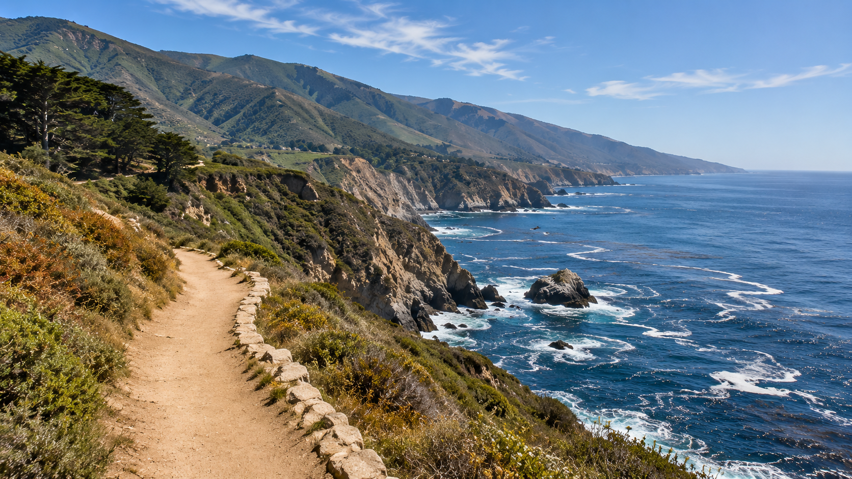
Just south of Carmel Highlands, Garrapata State Park protects two miles of coastline as well as inland canyon and mountain terrain. Coastal paths around Soberanes Point provide expansive views without requiring a full-day backcountry commitment. Summer fog can soften the landscape, while clear afternoons reveal sea stacks and long stretches of the Big Sur coast.
Trailheads use Highway 1 pullouts. Never stop in a travel lane or cross where visibility is poor. Coastal and inland conditions may differ, and closures can follow erosion or maintenance.
3. Pfeiffer Falls and Redwood Trails at Pfeiffer Big Sur State Park
Best for: Redwoods, river scenery, families, and a cooler forest environment.
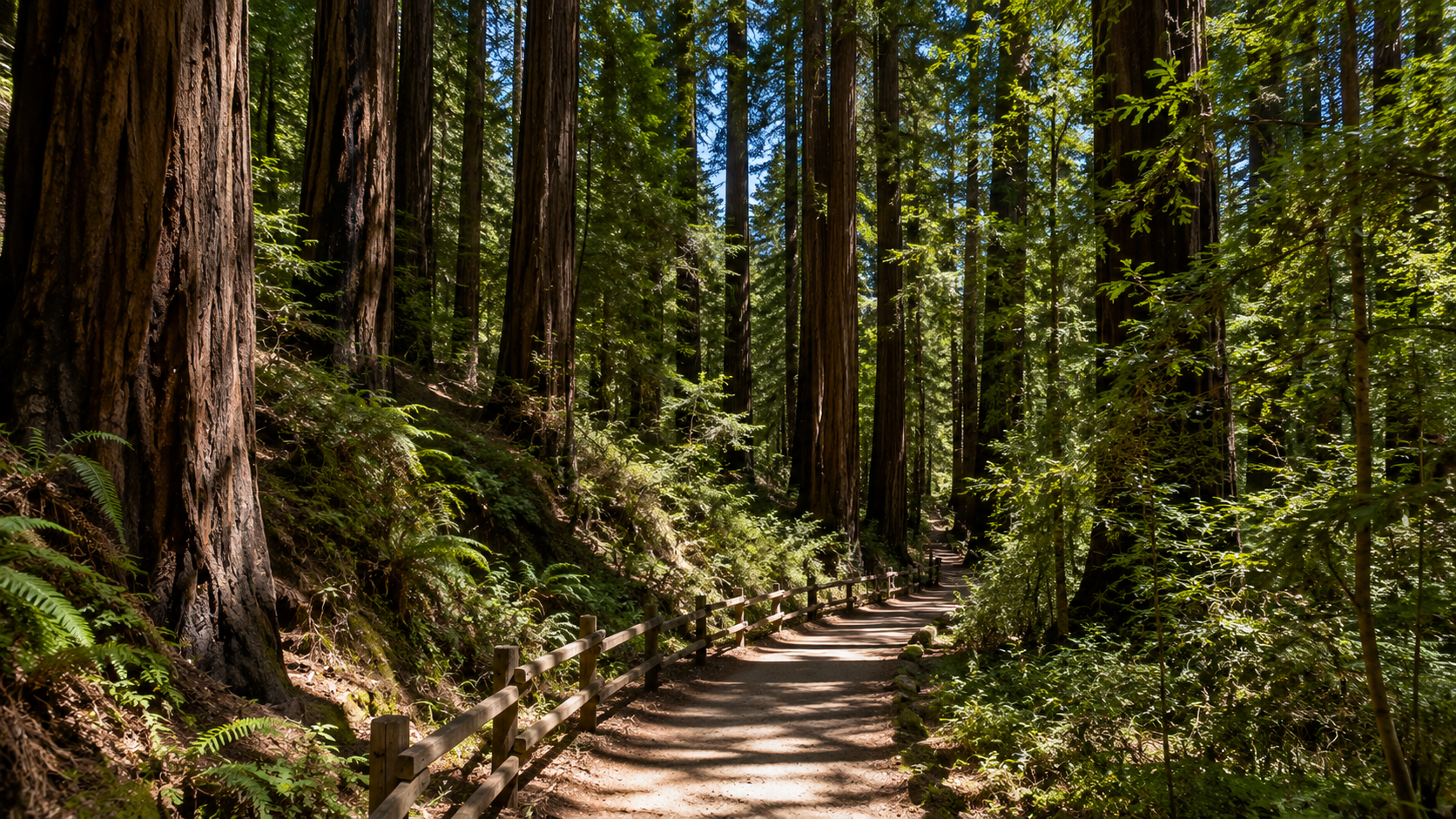
Pfeiffer Big Sur State Park offers a different side of Big Sur. Instead of open ocean bluffs, many trails follow the Big Sur River and pass through redwoods, oaks, maples, and other riparian vegetation. The restored Pfeiffer Falls Trail reopened in 2025, making it a timely choice for summer 2026. Visitors can combine forest paths with the Valley View area or choose a shorter walk near the river.
Pfeiffer Beach has a separate entrance and is not inside the park. Dogs are generally prohibited on trails except service animals, and poison oak is common. Check the official trail status page.
4. Andrew Molera State Park
Best for: A beach-and-trail combination, open meadows, and longer coastal loops.
Andrew Molera State Park contains roughly 15 miles of trails across meadow, ridge, river, and coastal environments. In summer, a seasonal footbridge is typically installed to help pedestrians cross the Big Sur River and reach the Creamery Meadow Trail toward the beach. The park’s trail network makes it possible to choose a simple out-and-back walk or a longer loop with elevation and ocean views.
River conditions, bridge timing, and closures can change. Confirm access on the Andrew Molera trails page and carry extra water.
5. Garland Ranch Regional Park
Best for: Carmel Valley views, oak woodland, varied difficulty, and repeat visits.
Garland Ranch Regional Park stretches from the Carmel River into the hills of Carmel Valley. Lower trails offer relatively gentle walks through meadow and woodland, while routes toward La Mesa and higher ridges provide more climbing and wider views. The Monterey Peninsula Regional Park District also publishes self-guided hike information that can help visitors select an appropriate route.
Carmel Valley is usually warmer than the coast. Begin early, carry ample water, and turn back before heat becomes a problem. Multi-use rules vary by trail, so stay alert for equestrians and bicyclists and follow posted right-of-way guidance. This park pairs well with other outdoor adventures in Monterey County or a meal in Carmel Valley afterward.
6. Jacks Peak County Park
Best for: Monterey pine forest, quieter woodland walking, and views near the Peninsula.
Jacks Peak Park borders Monterey and protects one of the remaining natural stands of Monterey pine. Approximately 8.5 miles of hiking trails wind through forest and climb toward ridgetop viewpoints. The Skyline Self-Guided Nature Trail is a useful introduction, while connected paths allow a longer outing.
Temperatures can still rise beneath the trees. Bicycles are not allowed on hiking trails; check county hours and fees.
7. Fort Ord National Monument
Best for: Long-distance options, rolling hills, trail running, mountain biking, and open space near Marina and Seaside.
The Fort Ord National Monument contains more than 86 miles of trails through oak woodland, chaparral, grassland, and seasonal stream corridors. Creekside Terrace and Badger Hills are common access points, but the network is extensive enough that a current map is essential. Download the official BLM trail map before setting out.
Remain on authorized marked routes because some surrounding areas contain sensitive habitat or former military lands with restricted access. The monument is shared by hikers, runners, cyclists, and equestrians. Keep right where practical, announce before passing, and follow BLM’s posted yielding rules.
Summer Hiking Safety in Monterey County
Coastal weather can shift quickly, and inland heat can be severe. Check the forecast for the specific park rather than relying on conditions in Monterey. Carry water, sun protection, food, a basic first-aid kit, and an offline map. Tell someone where you are going when choosing a remote route. The County of Monterey’s Know the Trails guidance covers preparation, fire restrictions, and responsible use.
For Big Sur outings, review current Caltrans Highway 1 conditions before departure. Mobile service is unreliable in many coastal and backcountry areas. Never depend on a phone signal for navigation or emergency planning.
Stay on designated trails, pack out waste, give wildlife space, and avoid shortcuts. If parking is full, choose another destination. For a gentler alternative, read the whale watching guide or browse other things to do.
Choose the Trail That Fits the Day
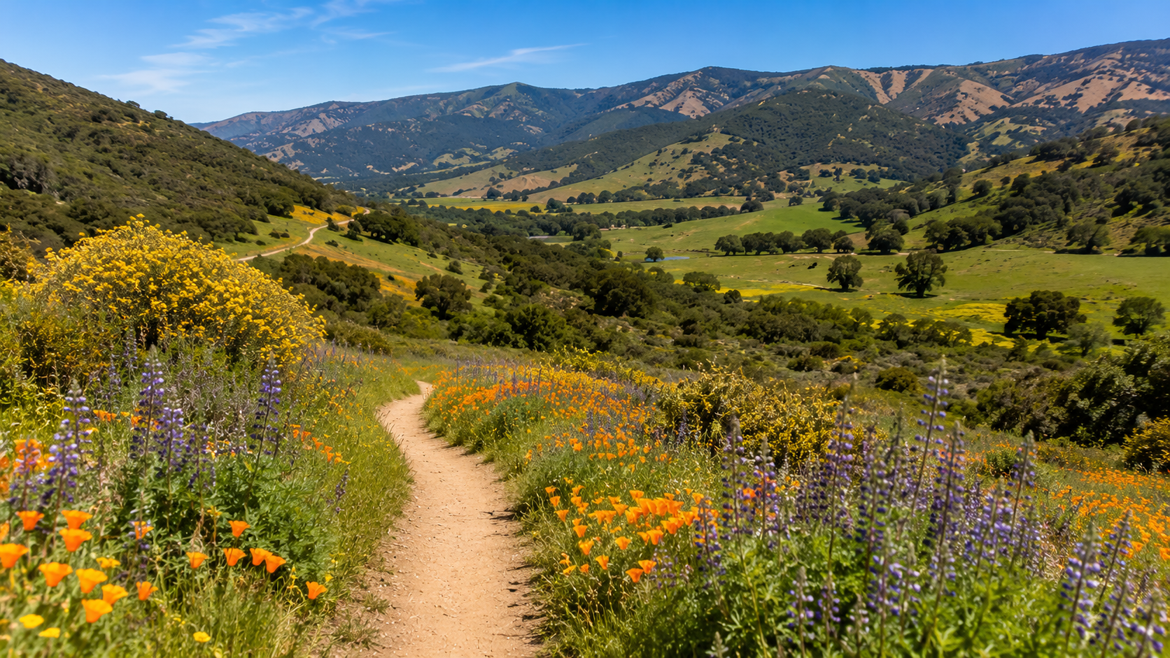
A successful summer hike does not have to be the longest or steepest option. On a foggy morning, Point Lobos or Garrapata may deliver the most memorable scenery. On a warm afternoon, a redwood path at Pfeiffer Big Sur can feel more inviting than an exposed ridge. When the coast is crowded, Jacks Peak, Garland Ranch, or Fort Ord may provide more room to explore.
Check current conditions, start with a realistic route, and leave enough time to enjoy the landscape without rushing. Monterey County’s strongest hiking experiences come from its variety—and from treating every trail, community, and habitat with care.