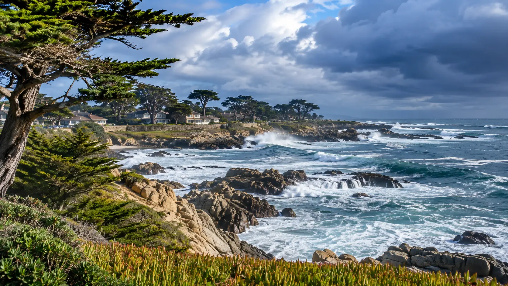
Monterey County king tides are returning for the 2026–27 winter season, bringing exceptionally high water levels, dramatic coastal scenery, and opportunities to learn about California’s changing shoreline. From Pacific Grove’s rocky coastline to Monterey Bay’s beaches and waterfront areas, these unusually high tides offer a glimpse of how rising seas may affect coastal communities.
The California King Tides Project has announced three statewide observation periods between November 2026 and January 2027. Visitors can participate by safely photographing high water levels and submitting their observations to the California Coastal Commission.
However, king tides can also create dangerous conditions when combined with large waves and storms. This Monterey County king tides guide covers official observation dates, potential viewing locations, photography tips, coastal hazards, and ways to explore responsibly.
What Are King Tides?
King tides are exceptionally high astronomical tides that occur when the gravitational effects of the sun and moon combine to produce some of the highest predicted water levels of the year.
Although “king tide” is an informal term rather than a separate scientific classification, these events are useful for understanding coastal flooding, erosion, and future sea-level rise.
According to the California Coastal Commission, king tide photographs help researchers and communities document how unusually high water affects beaches, roads, wetlands, and coastal infrastructure.
King tides are predictable astronomical events, but their effects depend on additional conditions. Strong winds, large swells, storms, and elevated ocean temperatures can increase water levels and make coastal areas more hazardous.
Monterey County King Tides 2026–27 Dates
The California King Tides Project has identified the following statewide observation dates:
| Observation Period | Official Dates |
|---|---|
| November 2026 | November 24–26, 2026 |
| December 2026 | December 23–25, 2026 |
| January 2027 | January 21–22, 2027 |
These are statewide observation windows, not exact high-tide times for every Monterey County beach. Each coastal location experiences its highest predicted water levels at different times.
For accurate local predictions, consult the NOAA Monterey Tide Predictions for station 9413450.
Check the dates and times shortly before visiting, and remember that predicted tide heights do not account for every weather-related increase in water level.
Where Can You Observe King Tides in Monterey County?
Several coastal destinations offer opportunities to observe changing water levels. During dangerous surf, however, even familiar viewpoints may be unsafe or temporarily closed.
Choose elevated, officially accessible public viewpoints rather than beaches, rocks, jetties, or exposed coastal trails.
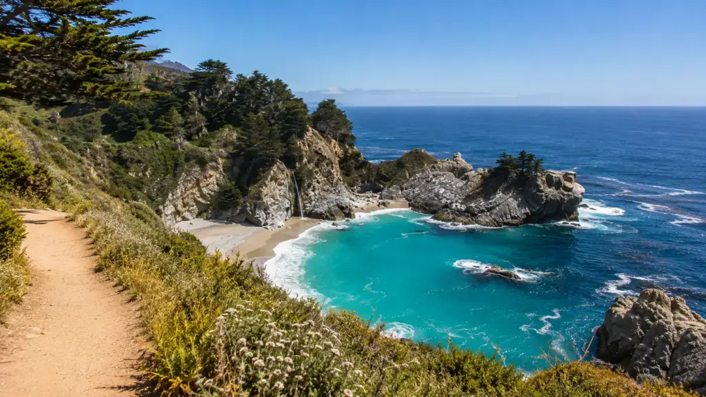
1. Pacific Grove Coastline
Pacific Grove features rocky shorelines, coastal vegetation, and panoramic views of Monterey Bay. Its coastline can provide useful perspectives on unusually high water levels and wave activity.
Visitors may find suitable viewpoints along open, designated portions of the coastal recreation areas. Avoid areas where waves reach walkways, seawalls, or viewing platforms.
Pacific Grove is also known for its seasonal wildlife. Explore our Pacific Grove monarch butterfly visitor guide for another nature-focused experience.
2. Asilomar State Beach
Asilomar’s granite formations, sandy shoreline, and coastal scenery make it a recognizable Monterey Peninsula destination.
However, this area is particularly vulnerable to dangerous surf conditions. California State Parks reported closures affecting Asilomar State Beach and its Coastal Trail during the November 2026 high-surf event.
Before planning any visit, check the official Asilomar State Beach page for current restrictions.
Never enter closed beaches or trails to photograph king tides. Consider observing coastal conditions from a different approved location when restrictions are in effect.
3. Monterey Waterfront
Monterey’s waterfront provides opportunities to observe how elevated water levels affect developed coastal environments.
Harbor infrastructure, waterfront paths, and shoreline structures may offer recognizable reference points for photographs when publicly accessible and safe.
Remain away from flooded walkways, exposed edges, and locations where breaking waves can reach pedestrians.
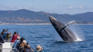
For additional coastal experiences during calmer conditions, explore our Monterey Bay Whale Watching Guide.
4. Carmel and Big Sur Coastal Viewpoints
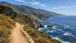
Monterey County’s southern coastline features dramatic cliffs, beaches, and ocean overlooks. These locations can reveal powerful wave activity and changes in shoreline conditions.
However, steep terrain, unstable cliffs, narrow beaches, and rapidly changing surf conditions create additional hazards.
Check the California State Parks Monterey District updates before traveling. Do not approach cliff edges or enter beaches that could become isolated by incoming tides.
How to Find the Best King Tide Viewing Time
Successful king tide photography begins with understanding local tide predictions.
NOAA publishes predicted high and low tides for Monterey Bay. These predictions help visitors identify when water levels may be unusually high.
Visit the NOAA annual tide tables for Monterey to review upcoming tides.
When selecting a viewing time, consider three important factors:
- Predicted tide height: Higher astronomical tides may produce noticeable changes along the shoreline.
- Weather and surf: Large waves, storms, and wind can make conditions dangerous even when the predicted tide is not exceptionally high.
- Location accessibility: Coastal paths, beaches, parking areas, and viewpoints may close during severe weather.
Check the National Weather Service San Francisco Bay Area/Monterey office for current coastal advisories.
Remember that the safest viewing time is not necessarily the moment of the highest tide. If conditions are dangerous, observe from a secure inland location or participate another day.
King Tide Safety Tips for Monterey County Visitors
Ocean conditions can change rapidly during winter. Even experienced coastal visitors should treat king tides and large surf with caution.
The California Coastal Commission’s king tide safety recommendations emphasize staying away from dangerous waves, checking forecasts, and respecting closures.
Stay Away From the Water’s Edge
Large waves can travel farther inland than expected. Never stand on exposed rocks, jetties, low seawalls, or narrow beaches to photograph approaching waves.
Never Turn Your Back on the Ocean
Unexpected large waves can sweep across shorelines without warning. Remain alert even when the ocean temporarily appears calm.
Respect Beach and Trail Closures
Park managers may close access points when conditions become unsafe. Never cross barriers, enter restricted trails, or ignore posted warnings.
Keep Children and Pets Away From Hazardous Areas
Maintain close supervision and avoid bringing children or pets near exposed shoreline areas during hazardous surf conditions.
Watch for Flooded Roads and Walkways
Do not drive or walk through floodwater. Water can conceal damaged pavement, debris, or unexpected drop-offs.
No photograph is worth risking your safety.
How to Photograph King Tides Responsibly
The California King Tides Project encourages residents and visitors to document unusually high water levels along the coast.
These photographs can help communities understand how shorelines respond to elevated ocean conditions.
Useful king tide photographs often include recognizable landmarks, such as seawalls, piers, coastal paths, or shoreline structures.
For better documentation:
- Choose a safe, publicly accessible observation point.
- Include a recognizable landmark for scale.
- Record the date, time, and location of the photograph.
- Photograph the same location during a normal tide when possible.
- Keep a safe distance from waves and unstable shoreline areas.
- Avoid disturbing wildlife or sensitive coastal vegetation.
Photographs can be submitted through the California King Tides Project submission page.
Contributing images is a simple way to participate in community science while learning more about California’s changing coastline.
Why King Tides Matter for Sea-Level Rise
King tides provide an opportunity to visualize conditions that coastal communities may experience more frequently as sea levels rise.
Although a single high tide does not prove climate change, repeated observations can reveal which shoreline locations are vulnerable to flooding and erosion.
Water reaching seawalls, paths, beaches, and low-lying areas during unusually high tides can help communities understand where future planning may be necessary.
Researchers compare photographs, tide measurements, and historical observations to study changes over time.
The California Coastal Commission’s sea-level rise resources provide additional information about coastal adaptation and planning.
What Happens During the Extreme Low Tides?
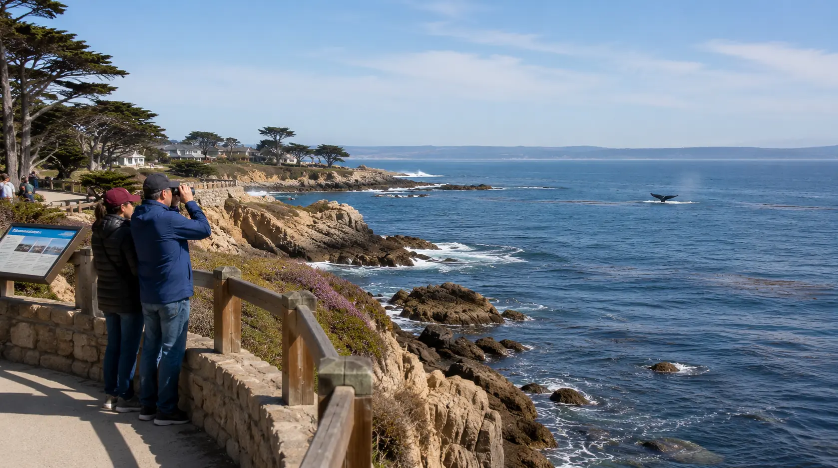
King tide observation periods can also bring unusually low tides, exposing portions of the rocky shoreline that are normally underwater.
During safe conditions, these lower water levels may reveal tide pools containing sea anemones, crabs, mussels, sea stars, and other marine organisms.
However, low tide does not automatically mean safe conditions. Large waves can still reach exposed rocks, and temporary restrictions may remain in effect.
The Monterey Bay National Marine Sanctuary tidepooling guide recommends observing wildlife carefully, avoiding damage to marine organisms, and leaving animals where they are found.
If conditions are suitable and access is open, wear sturdy shoes, avoid slippery surfaces, and return well before the tide rises.
For other outdoor experiences, explore our Monterey County hiking guide.
Frequently Asked Questions About Monterey County King Tides
When are the next king tides in Monterey County?
The California King Tides Project’s 2026–27 observation dates are November 24–26, December 23–25, and January 21–22. Exact local high-tide times vary by location.
Are king tides dangerous?
King tides can become dangerous when combined with large waves, strong winds, storms, or coastal flooding. Always check official warnings and access restrictions.
Can I photograph king tides with my smartphone?
Yes. A smartphone can capture useful observations, particularly when photographs include recognizable landmarks and accurate location information.
Are king tides the same as tsunamis?
No. King tides result from predictable gravitational forces involving the sun and moon. Tsunamis are caused by major disturbances that displace large volumes of water, such as underwater earthquakes.
Plan a Safe Monterey County King Tide Experience
The Monterey County king tides of 2026–27 provide an opportunity to appreciate the Pacific Ocean’s power while learning about coastal science, natural habitats, and sea-level change.
Whether you observe from a safe elevated viewpoint, photograph changing water levels, or contribute to the California King Tides Project, responsible preparation is essential.
Review official tide predictions, confirm park access, monitor weather warnings, and avoid dangerous surf conditions.
For more nature experiences, explore our Pacific Grove monarch butterfly guide and discover more of Monterey County’s coastal environment.
Remember: Enjoy the scenery from a safe location, respect coastal closures, and let the ocean remain the focus of your visit.